August 2020
DAY-4
Stats: Guillestre (1,050m) to Barcelonnette (1,150m) via Col de Vars (2,108m); length 54km; elevation 1,230m. Battery used 50%
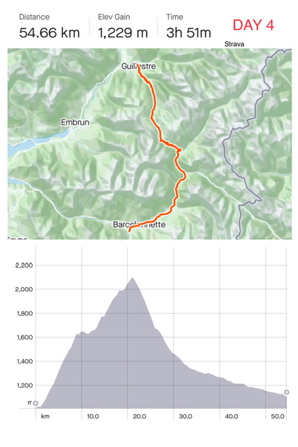
Today was tough, probably due to a combination of tiredness, heat and some steep inclines.
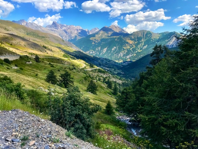
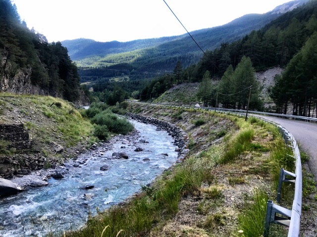
Apart the pushing on the ascent, we did also a lot of pedaling towards the end. In fact, after the initial steep descent from the Col, the road flattens out with only a minor incline for the rest of the stage.
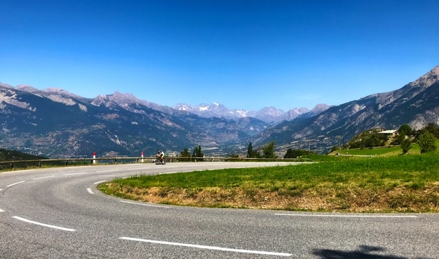
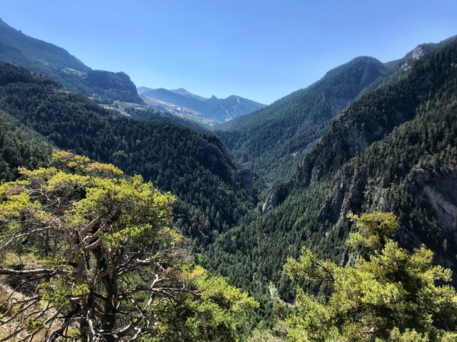
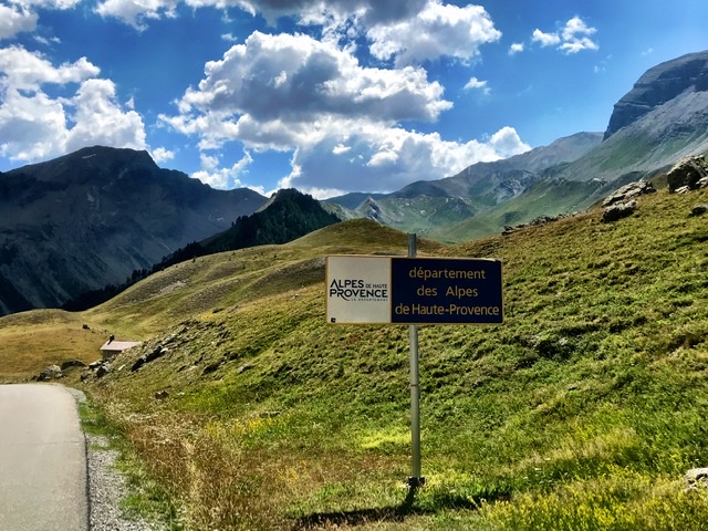
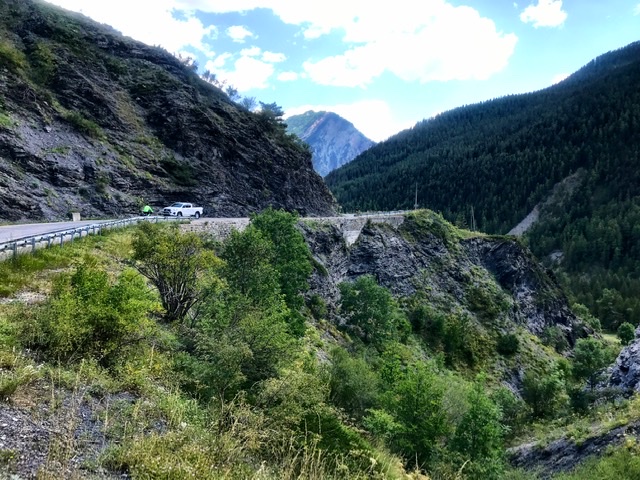
The views today had no specific striking feature. Still, it was a lovely ride along mid-altitude mountains, in deep-green surroundings and gentle hilly landscape.
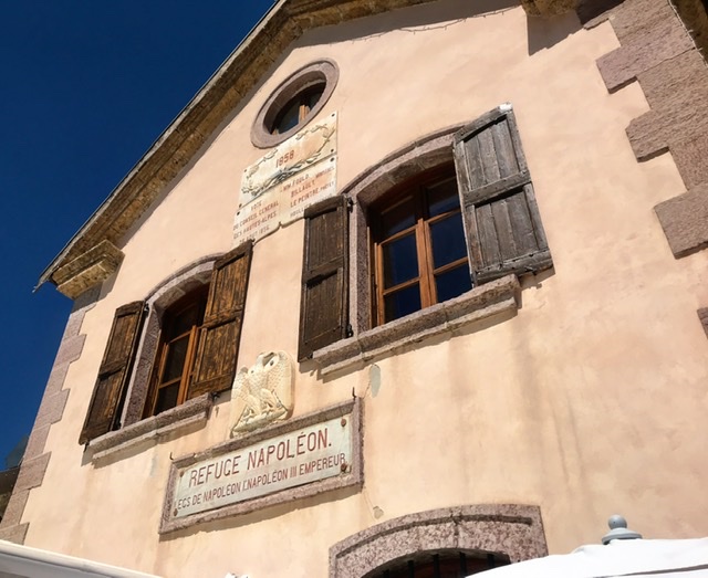
The most bucolic part was at Refuge Napoleon (restaurant and Hotel) just before Col de Vars, built in an idillic setting with its own little lake.
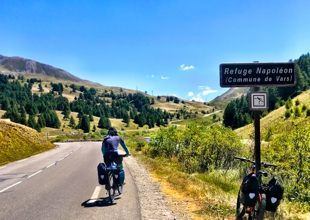

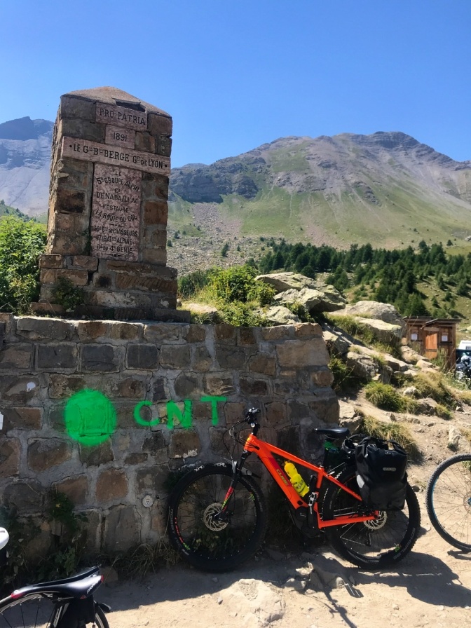
Coffee/snack/picnic at these Refuges or near the summits had by now become our routine, and today was no exception.
Thus rested at the Refuge, we easily tackled the last km uphill to the Col and then the steep descent.
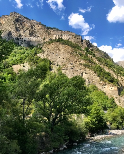
The only architectural landmark was the imposing Fort de Tournoux constructed along the side of the mountain overlooking the Ubaye valley. Like many Forts found along this route, it was built at the end of the 1800 to protect France from Italy.
We arrived quite exhausted in Barcelonnette (renown for its colonial style houses).
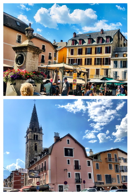
Just outside the town, we were rewarded with a magnificent Bed & Breakfast, chalet-style (Le Passe Montagne), where the host cooked for us an exquisite dinner and a hearty breakfast.
Links to other sections of the Route des Grandes Alpes:
- INTRO- Route des Grandes Alpes , France (southern half)
- St-Michel-de Maurienne to Valloire , France (Day-1)
- Valloire To Briançon , France (Day-2)
- Briançon to Guillestre , France (Day-3)
- Barcelonnette to Guillaumes, France (Day-5)
- Guillaumes to Valdeblore , France (Day-6)
- Valdeblore to Sospel , France (Day-7)
- Sospel to Nice , France (Day-8)
