Highlight: Lake Schwarzsee (1,050m), Charmey region
June 2018
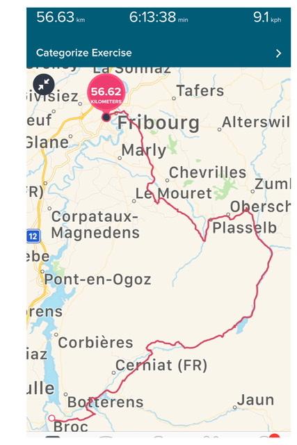
Last week I got inspired to bike there after seeing beautiful pictures of the Schwarzsee (Lac Noir), a small lake in the Swiss Prealps of the Canton Fribourg. However, there are no established road bike routes that would allow a quick 1-day circular tour. The only one is the MTB Panoramic Route 2, which passes by the lake and then continues through other mountain peaks. So, I combined fragments of various SwitzerlandMobility Routes from Broc (700m) to Schwarzsee (1050m), finishing in Fribourg (650m).
Starting in Broc, I climbed route 59:03 north of Gruyeres towards Jaun.
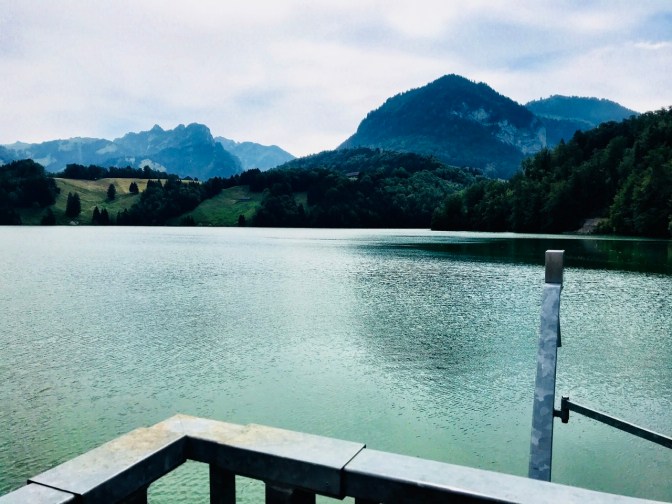
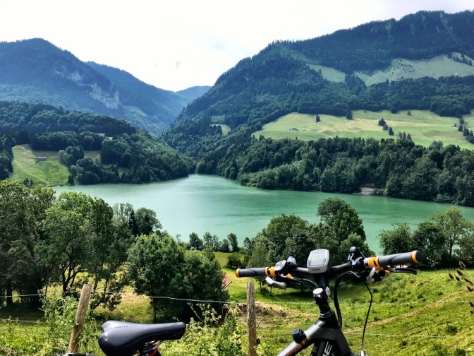
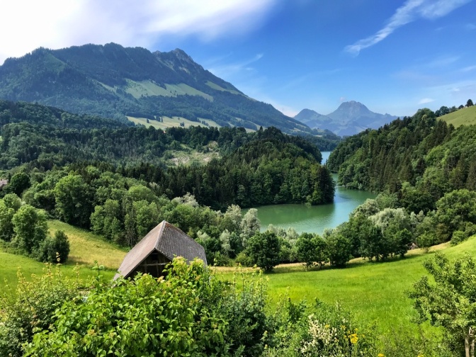
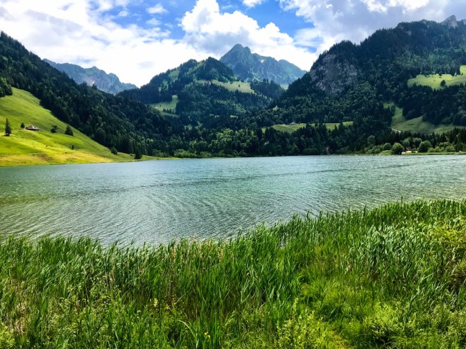
Then, to connect to MTB Route 2, I cut through the scenic Barrage and Lac de Montsalvens. The lake is immersed in tranquility and surrounded by green old mountains.

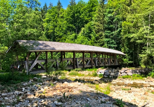
From there, a natural narrow trail, at time steep and push-only, brought me to the paved part of MTB route 2:13.
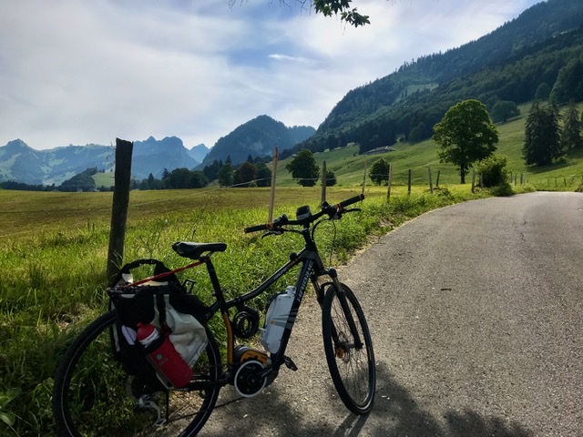
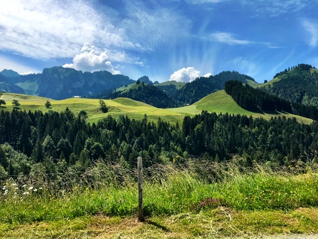
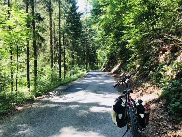
At Charmey starts MTB route section 2:12, a mix of natural and paved roads. The panorama is beautiful, with rounded mountains and a silence interrupted only by the sound of cowbells. Very few cars use this road, probably because it leads to nowhere. Here, in the middle of nature, I also found a 1-star Michelin restaurant (La Pinte de Mossettes).
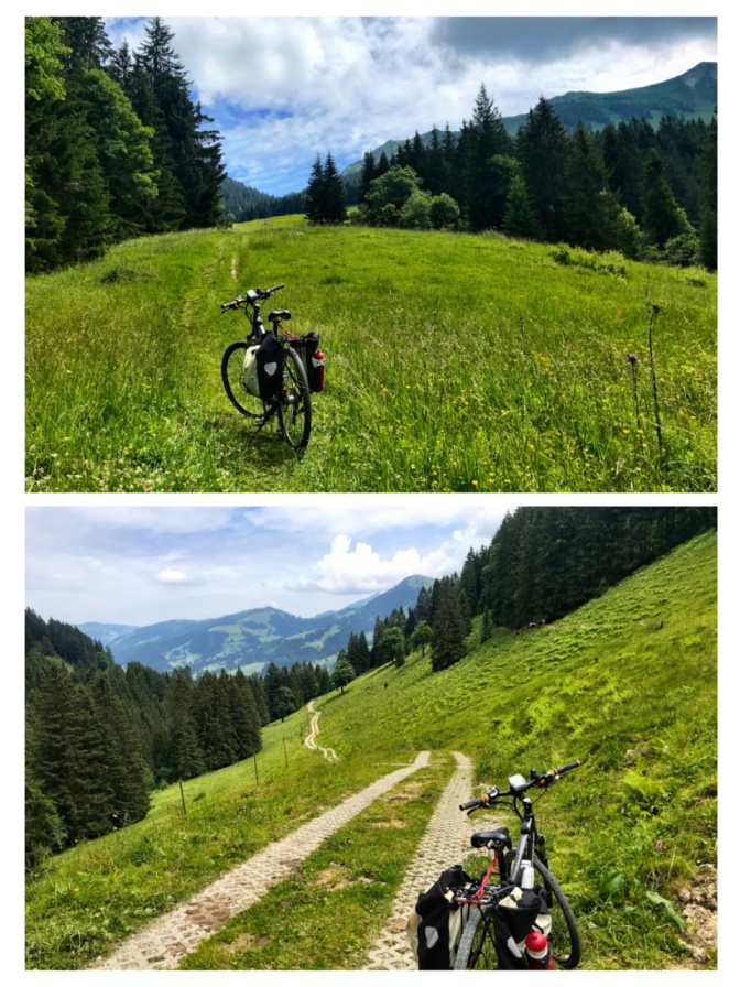
Then road turns into a difficult mountain natural trail about 4 km before Schwarzsee. It is the only access to the Lake coming from Charmey, and it becomes particularly tough towards La Balisa (1,400m, summit), with an extremely steep 200m or so during which I had to push the bike up because it was too dangerous to even ride it. The rest of the route was OK, but the natural trails were, as expectedly, very slow because of the uneven terrain.
This first part, from Lac de Montsalvens to the Schwarzsee, was particularly picturesque with its alpine scenic landscape and peaceful surroundings.
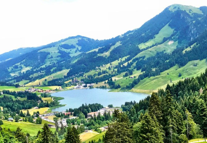
Once I reached Lake Schwarzsee, I went back to civilization and took a coffee break in one of the few restaurants to gain some strength back. The lake is at about 1,000m and surrounded by steep cliffs and imposing mountains. Tourist development around the lake is limited to a couple of areas, so that the natural environment is mostly preserved.
The lake has only one direct road access, which is in the direction of Fribourg. Thus, I descended via this road, unfortunately quite busy until Plaffeien. I had the option to go on the parallel natural trail of MTB route 2:11, but by then I had had enough of the bumpy ride and wanted a softer terrain….
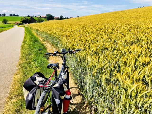
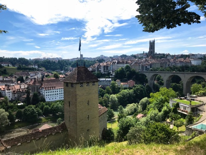
From Plaffeien, I then connected first with route 62:03 and then with 59:03, passing through various villages and arriving at last, exhausted, in the medieval town of Fribourg.
Overall, the tour was 56 km long with about 1,200m in total elevation (as per the Fitbit app). The maximum altitude was 1,400m at La Balisa.
Link to Introduction:
