Highlights: Lac de l’Hongrin (and Dam; 1,255m), Aigle Castle
Overview of the entire Route 4 (Alpine Panorama Route): Route 4 crosses Switzerland NE to SW, from St. Margrethen to Aigle via alpine landscapes, passes, and gorges. As the name of the route implies, the route may be quite strenuous at times. SwitzerlandMobility.ch (Cycling in Switzerland) gives the total length of Route 4 as 485km.
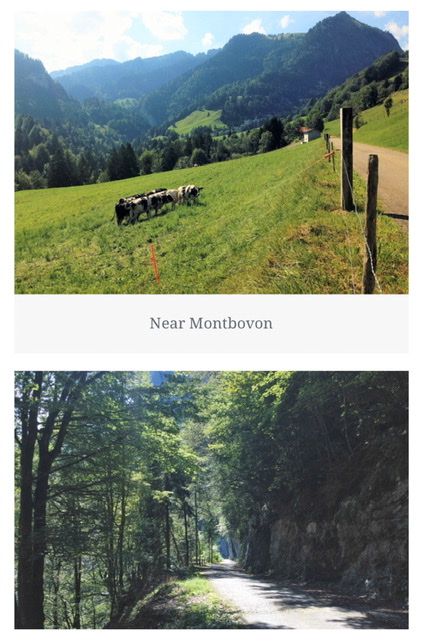
Route 4-Section 8 (end of route) (Montbovon 797m-Aigle415m)
Stats from SwitzerlandMobility.ch: 52 km (0 km unpaved). Height difference is M-A: 900m, A-M: 1350m. Their site has the full profile.
The first 16 km from Montbovon are all uphill and can be taxing both on the rider and on the battery. However, the ride is much more difficult if departing from Aigle, with an initial steep ascent for several kms.
September 2016 (1-day trip)
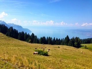
This part has an AMAZING panorama! The first 15km of the Section 8 (from Montbovon) are in a true alpine setting, passing through forests and often in the shade. The entire route is paved but the section in the forest is in very poor conditions. This first part is also quite unfrequented and lonely; no people, no villages, just cows for several kilometers. There is no possibility of getting fresh water either. Also, I did not have phone service for the first 35km, although not all phone carriers may be off here.
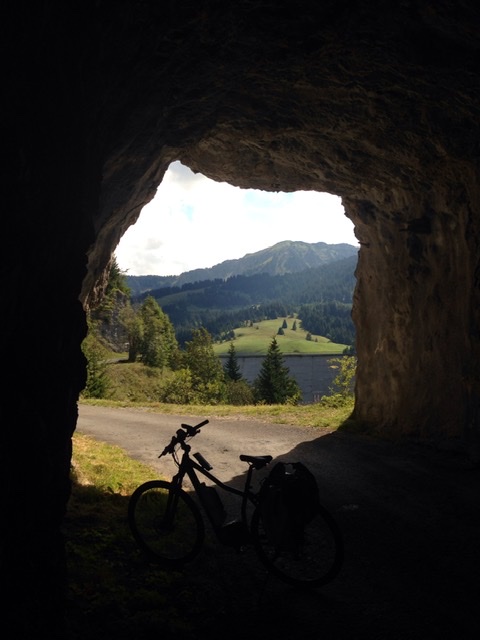
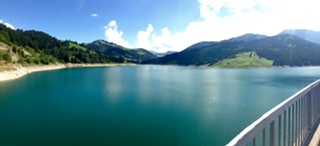
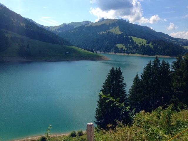
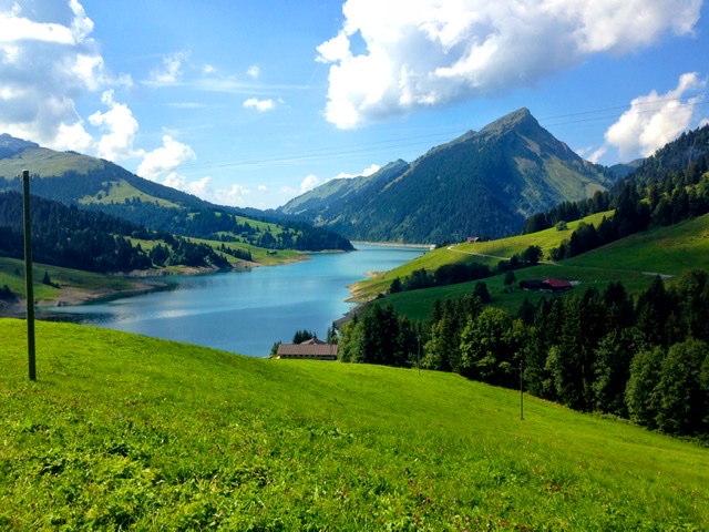
At about 17km from Montbovon, one passes through a small rocky tunnel that opens with the impressive view of the Hongrin Dam (at 1,255m). The artificial Hongrin Lake, created by the dam, is a picturesque blue-green water reservoir for the production of electricity . Biking around this area is extremely peaceful, and the silence is interrupted only by the bells of grazing cattle.


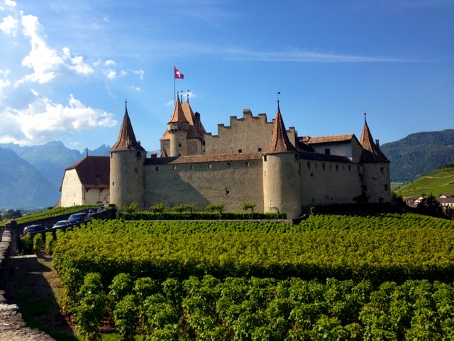

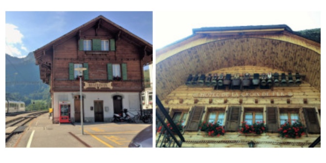
Aigle is the end of Route 4 and its train station has major connections to everywhere one needs to go.
