Highlights: Thun , Kemmeriboden-bad
Route 4: Section 5 (Sörenberg 1150m–Thun 560m)
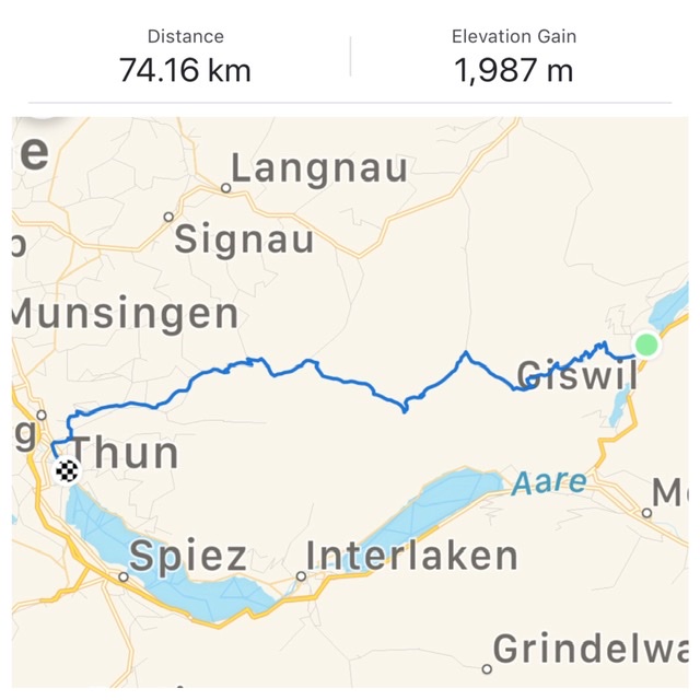
Stats from SwitzerlandMobility.ch (http://www.schweizmobil.ch/en/cycling-in-switzerland/routes/etappe-0877.html): 51km long, height difference Sörenberg–Thun 860m (1450m in the opposite direction). Their site has the full profile. The few kilometers of unpaved road can be skipped by using the longer route 4:09 detour.
June 2019
To start, I made an arbitrary change to the end/start point of Sections 4:04 /4:05 based on transport feasibility and altitude profiles. Indeed, the only train station close to the separation of the 2 Sections is in Giswil (which is part of the last 20km stretch of 4:04). Incidentally, Giswil is also the start of a pedal-pushing, grueling 11km/1,100m elevation uphill.
With these modifications, my stats for this ride are quite different and more difficult than the ones from SwitzerlandMobility.
But I was happy to start the day with the challenging ascent from Giswil (489m) to Glaubenbielen Pass (1,611m) (4:04). For me it is always better to have an arduous exercise at the beginning rather than at the end of a ride……
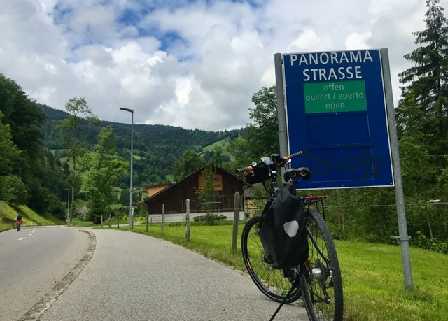
From Giswil, the road climbed through pastoral hills and mountain landscapes via the so-called Panoramastrasse with picturesque views of the Sarnersee and Stanserhorn peak.
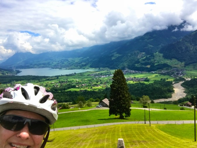


It took me a good 1.5h of continuous uphill and 70% of battery to reach the Glaubenbielen Pass ! This is definitely a strenuous ride. Unfortunately, to decrease my load, I did not bring the battery charger with me so once I reached the pass I started praying that I could finish the rest of the 60km ahead…….
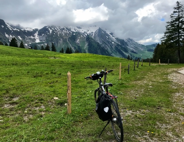
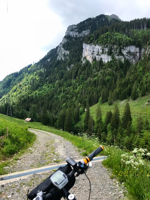
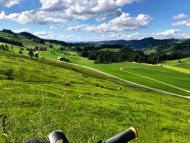
The actual Section 4:05, which starts in Sörenberg, is quite beautiful, traveling through forested gravel and MTB trails.
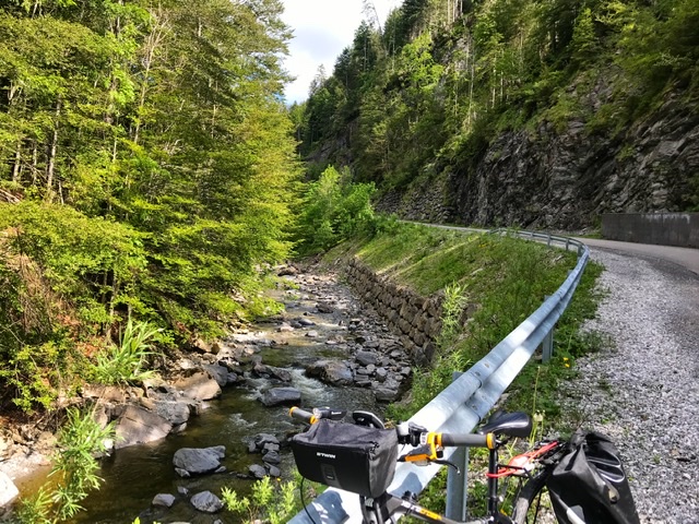
If one wants to avoid the natural terrain, there is a deviation (Section 4:09) just after Sörenberg. However, this alternative is about 10km longer and it bypasses the magical landscape along the Emme stream and the scenic mountainscape of Kemmeriboden.
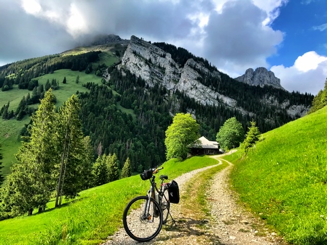
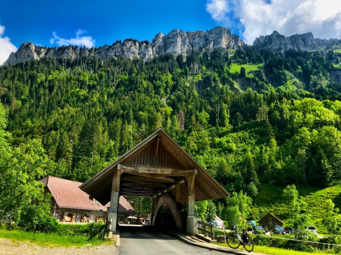
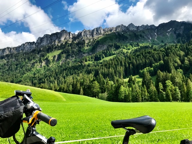
At Kemmeriboden-bad there is a Swiss Style rustic-elegant chalet-restaurant set in the foothills of the Hohgant mountain and along the Emme It is a romantic getaway hotel hidden in the forest and an ideal departing spot for beautiful hikes ( https://www.kemmeriboden.ch/fr/)
The Hohgant mountain range is one of the highlights of this trail, with a striking vertical wall above Kemmeriboden
Here, I checked my position and with discouragement I realized that I was still quite far and with more uphills……
The last ascent to overcome was towards Schallenberg. Going very slowly and pushing with my last remaining strength and at minimum battery, I finally made it to the top……Took a breather ……And then the road started a long descent for 25km until Thun (reviewed in 99:03, 8:03).

I arrived at Thun train station exhausted, having been on the bike for a good 8 hours and without eating , apart from a little yogurt along the road.
Links to Introduction and other Sections:
- BIKING THROUGH SWITZERLAND (with an electric bike)
- Route 4: Section 1 (St. Margrethen–Appenzell)
- Route 4: Section 3 – Glarus to Flüelen
- Route 4: Section 4 – Flüelen to Sörenberg
- Route 4: Section 6 (Thun–Fribourg)
- Route 4: Section 7 (Fribourg–Montbovon)
- Route 4 (Alpine Panorama Route): Section 8-end (Montbovon-Aigle)
