AUGUST-2020
DAY-1
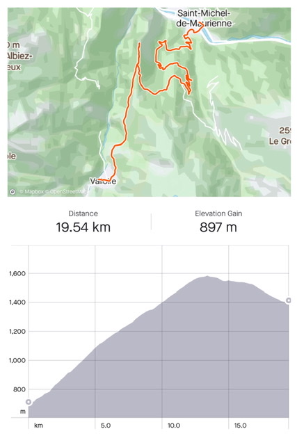
Stats: St-Michel-de Maurienne (770m) to Valloire (1,400m); length 19 km; elevation 900m. Battery used: 50%
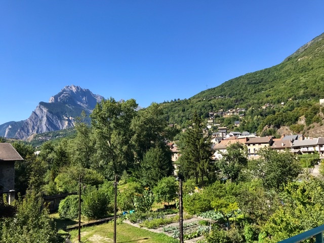
Four train changes brought us to St-Michel-de Maurienne /Valloire, the start of our adventure.
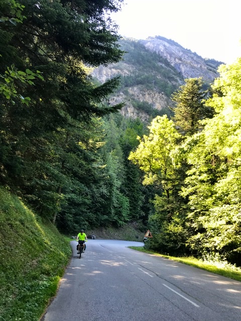
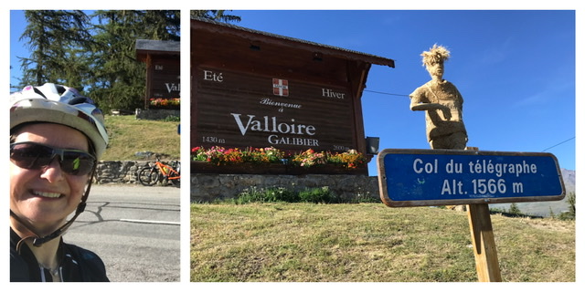
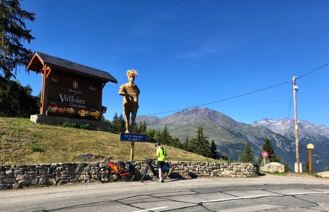
Here we immediately took off for the 12km ascent of Col du Télégraphe (1,566m).
This section winds through pine forests, giving some needed shade but also obscuring the panorama.
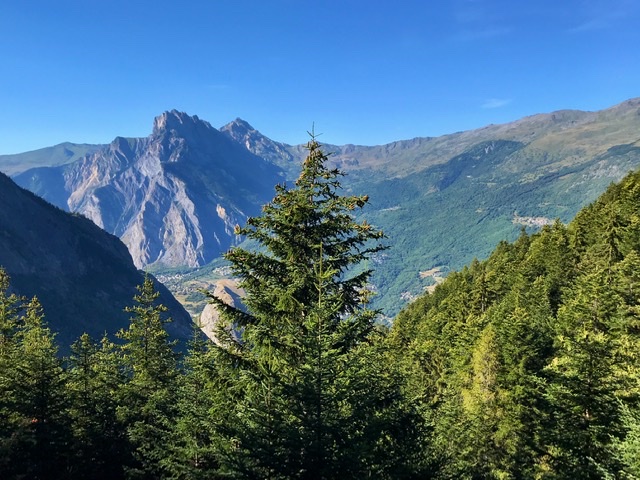
At the Col, tourists can visit the massive Fort du Télégraphe. It was built at the end of 1800 but it saw action only in the 2nd World War.

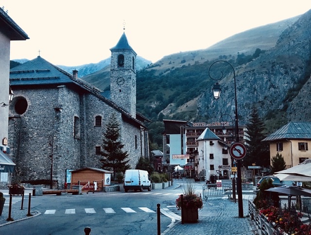
From there we gently descended into the charming French alpine village of Valloire in Savoie where we spent the night. Valloire is a large and lively village, with many summer and winter activities, and plenty of accommodations and restaurants.
We went to bed early, mentally preparing for next day 18km herculean ascent to Col du Galibier (2,642m).
Continue reading the other Sections of Route des Grandes Alpes using the links below:
- INTRO- Route des Grandes Alpes , France (southern half)
- Valloire To Briançon , France (Day-2)
- Briançon to Guillestre , France (Day-3)
- Guillestre to Barcelonnette , France (Day-4)
- Barcelonnette to Guillaumes, France (Day-5)
- Guillaumes to Valdeblore , France (Day-6)
- Valdeblore to Sospel , France (Day-7)
- Sospel to Nice , France (Day-8)
