Highlights: Gruyères and its Castle (MUST SEE)
MTB Route 2: Section 13 (Charmey 887m-Les Paccots 1060m)
Stats from SwitzerlandMobility.ch: 38 km (17 km unpaved). Height difference is C-LP: 1200m, LP-C: 1050m. Their site has the full profile. There are about 20min of puch-only passages (to steep to ride).
August 2016 (1 day trip)
We started from Gruyères (810m) and not from Charmey (we will do that another time). It was just logistically easier. I’ve been to the village of Gruyères many times before and it always fascinates me. It is a must-see destination when in Switzerland. Although it is famous for the Gruyere cheese one should not miss the visit to the medieval village and to the impressive 13th century Castle, which are perched on a hill above the tiny train station The village is beautifully maintained and resembles a postcard (see also 9:02)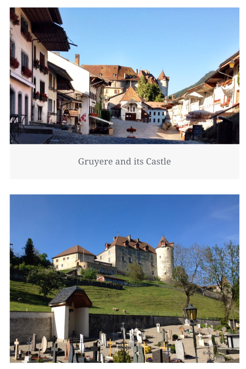


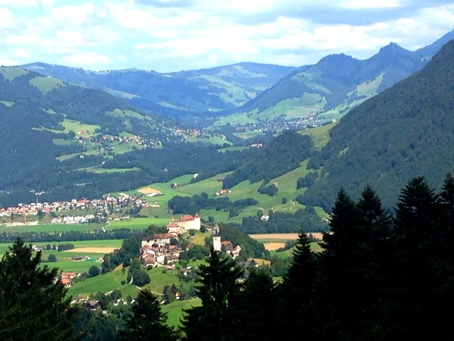
The panoramic views of the castle and of Lac de la Gruyère accompanied us during the first few ascending kilometers.
From Gruyères one ascends almost continuously for about 15km.We thanked our bike engine for assisting us in this very tiring uphill. The route alternates long stretches inside woods and paved roads. The wood trails are often rocky, steep and difficult.
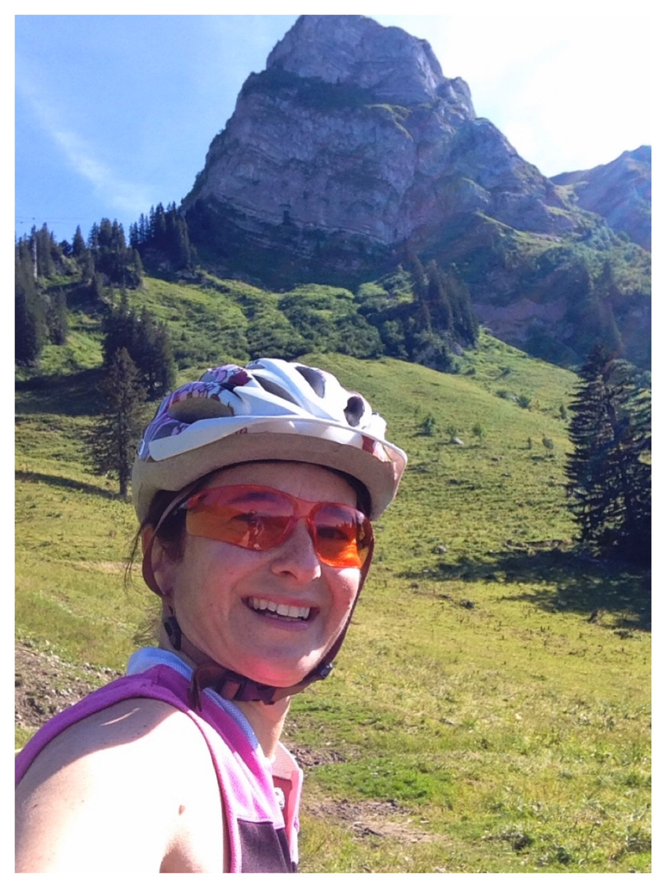
This was my first mountain bike trail experience and it was a total body workout. There are several sections of about 20m each that are so steep that one has to dismount the bike and push it up; and if you have a bike as heavy as mine (about 25 kg) it’s not an easy task. On top of this, there are the ever present pasture gates to overcome and maneuver through.
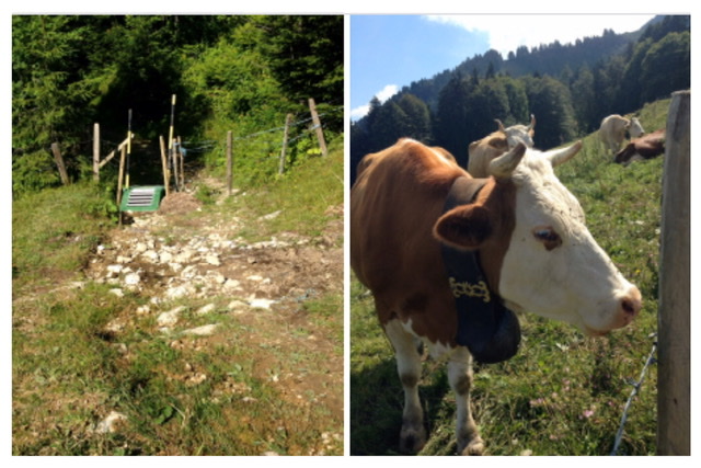
After about 10km from Gruyères the trail continues through high pastures around the towering Moléson mountain.
Difficulties aside, this ride has beautiful panoramic views of the Gruyère area and, during this season, one can see the Gruyère cows grazing the high pastures.
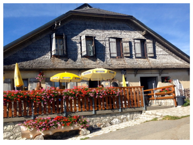
Unfortunately though, after 13 km, and at about 1,400m elevation in the middle of the mountain my bike broke down. Some fellow bikers directed us to a Buvette (sort of a rustic lodge/farm) nearby (at Gros-Plané at 1,470m) where I could temporarily fix my bike.
At this point it was too late and too risky to continue the mountain trail so we took the small road to Bulle (elevation 750m) and had a thrilling 10km descent.
At Bulle, we took the first train back home.
Links to Introduction & other Routes:

2 thoughts on “MTB Route 2 (Panoramic Route): Section 13 (Charmey-Les Paccots)”