Overview of the entire Route 4 (Alpine Panorama Route): Route 4 crosses Switzerland NE to SW, from St. Margrethen to Aigle via alpine landscapes, passes, and gorges. As the name of the route implies, the route may be quite strenuous at times. SwitzerlandMobility.ch (Cycling in Switzerland) gives the total length of Route 4 as 485km.
Route 4: Section 1 (St. Margrethen 400m–Appenzell 770m)
Highlights: Appenzell
Stats from SwitzerlandMobility.ch (http://www.veloland.ch/en/routes/route/etappe-0873.html): 46km long, height difference St. Margrethen–Appenzell: 1150m (760m in the opposite direction). Their site has the full profile. It shares its path with 99:13 between Buriswilen and Oberegg
June 2018
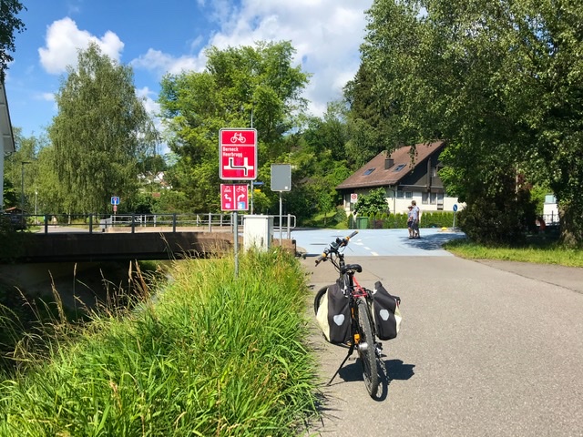
This is a medium-difficult section. From St. Margrethen, near the Bodensee, the road winds through various suburbs before taking an uphill turn into the countryside.
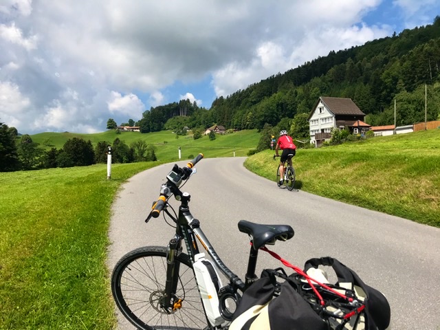
The landscape throughout the ride consists of green hills with occasional views of the Alps, and the ride is an alternance of ups and downs.
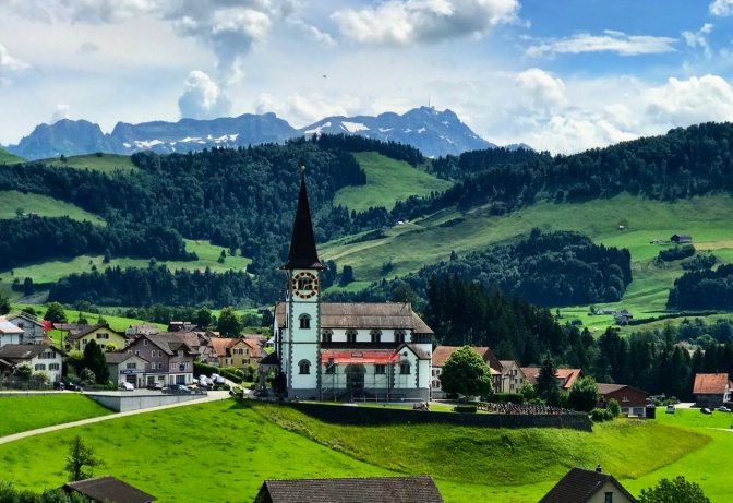
Arrived in Trogen after a tiring 28km, I stopped at a nice cafe for cappuccino and a little battery recharge. Trogen town square has also some nicely decorated historical buildings.
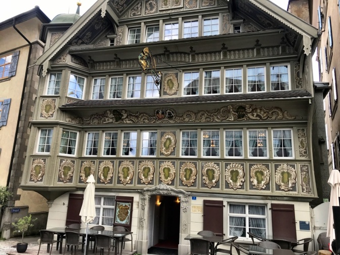
The Section ends in Appenzell (https://m.myswitzerland.com/en-ch/appenzell2.html), a cute small village with colorful doll-style houses and an aura of fairytale (see also Route 99:12). Tourist shops and cafes line the streets of the pedestrian-only center. In view of its touristic attraction, the little shops are open on Sunday, when most of Switzerland is closed for business……


Appenzell has a train station from which one can return home. However, I continued 10km into the 2nd stage of Route 4, up to Urnasch (altitude 820m). This to me is a better break between the 2 Sections since it equalizes a little the length of the 2 parts. Additionally, Urnasch is also on the same train line of Appenzell, so the connections are similar. 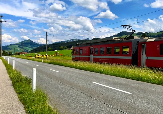
Links to Introduction and other Sections:
- BIKING THROUGH SWITZERLAND (with an electric bike)
- Route 4: Section 4 – Flüelen to Sörenberg
- Route 4: Section 5 (Sörenberg–Thun)
- Route 4: Section 6 (Thun–Fribourg)
- Route 4: Section 7 (Fribourg–Montbovon)
- Route 4 (Alpine Panorama Route): Section 8-end (Montbovon-Aigle)
- Route 99: Sections 9-13/end ; a 3-day cycling from Einsiedeln to Rheineck

4 thoughts on “Route 4: Section 1 – cycling St. Margrethen to Appenzell, Switzerland”